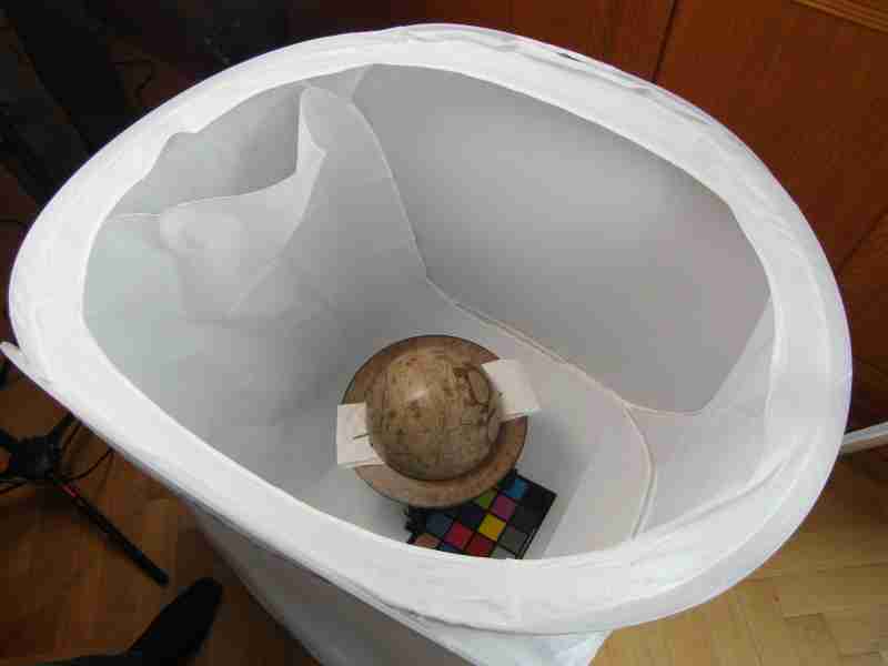
Globe in a Light Tent
Process
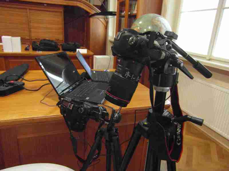
Photographing Equipment
The digitalisation of old globes has recently ranked among the principal research topics for numerous experts and institutions. 3D objects are most frequently laser scanned. However, only very few scanners are able to scan the texture of objects; and even if they have such capability, the quality is insufficient. This poses a problem. Therefore, the development of the globes documentation has so far been focussing on photogrammetric methods.
The entire globe is scanned with a camera. After that, the globe model is created by using proper software. In terms of time demands, the scanning itself accounts only for a small portion of the entire work. Very important is the right illumination of the globe, which changes according to the globe surface quality. By contrast, the subsequent treatment takes a lot of time and calculations which need to be further adjusted may take even several days.
Globe in a Light Tent |
Process |
Photographing Equipment |
The globes of the Map Collection of the Faculty of Science of Charles University have been scanned and processed by two groups of experts – a team from the Czech Technical University supervised by Prof. Dr. Ing. Karel Pavelka, and a team from the University in Ghent, representing the second group supervised by Prof. Dr Philippe de Maeyer.
Prof. Dr. Ing. Karel Pavelka, pavelka@fsv.cvut.cz
Ing. Jan Řezníček
Ing. Zdeňka Bílá
Adress:
Czech Technical University in Prague, Faculty of Civil Engineering
Department of Geomatics
Thákurova 7
166 29 Praha 6
The second group supervised Prof. Dr Philippe de Maeyer.
Prof. Dr Philippe de Maeyer, philippe.demaeyer@ugent.be
Prof. Dr. Alain De Wulf, alain.dewulf@ugent.be
Cornelis Stal, cornelis.stal@ugent.be
Adress:
Department of Geography
Ghent University
Krijgslaan 281, S8
9000 Ghent
Belgium